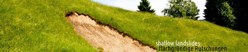
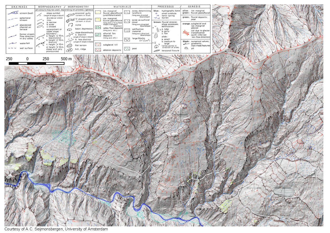
With the help of a geomorphological map of a part of the Laternser valley (courtesy of A.C. Seijmonsbergen, University of Amsterdam) a geotechnical map of homogenous soil units will be created. All laboratory tests, field mappings and geophysical measurements as well as data from respective literature will be included to guarantee an optimal data basis for further simulations. Down below you can see part of the geomorphological map.
-
Archives
- July 2017
- June 2017
- April 2017
- November 2016
- June 2016
- April 2016
- February 2016
- December 2015
- November 2015
- June 2015
- March 2015
- January 2015
- November 2014
- October 2014
- September 2014
- July 2014
- June 2014
- May 2014
- March 2014
- February 2014
- January 2014
- November 2013
- October 2013
- September 2013
- August 2013
- July 2013
- June 2013
- May 2013
- April 2013
- March 2013
-
Meta